Where's Your Nearest Nando's?
Graph Theory
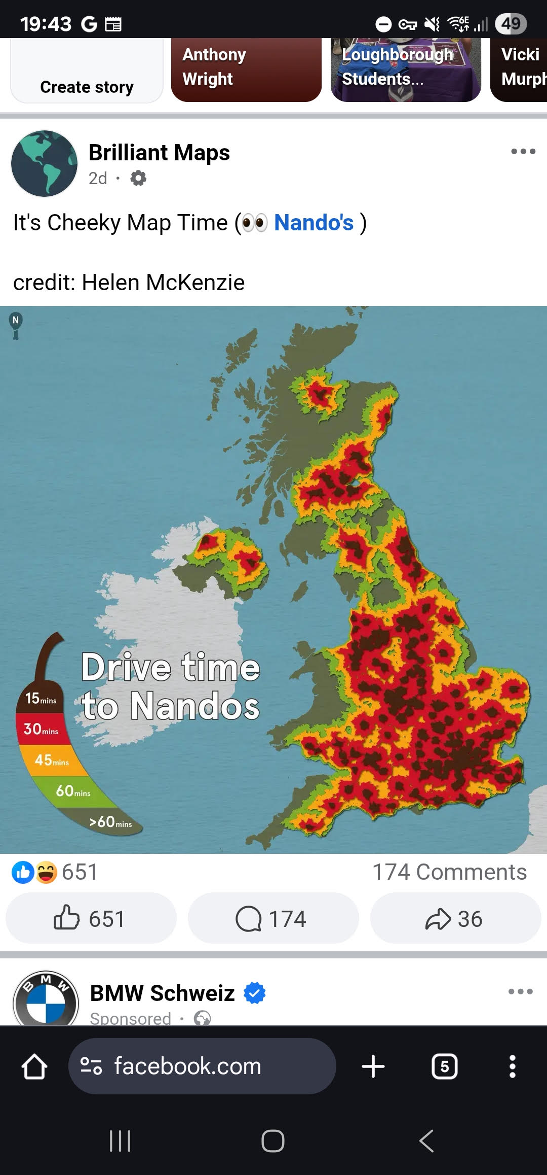
A straight-line 'nearest branch' map is not the same as a real travel-time map. Build the Voronoi diagram for a set of locations, then test its straight-line boundaries against real journey times.
Introduction
Picture every Nando's branch within reach of where you live, and ask which one is closest to any given point. Slice the map by straight-line 'closest branch' boundaries and you get a Voronoi diagram: a set of cells, one per branch, showing where that branch is nearest as the crow flies. Real travel is not as the crow flies: roads, one-way streets and traffic mean the fastest branch to reach is not always the nearest one on the map. This exploration builds the straight-line answer first, then checks it against reality.
Guiding Questions
- Plot the locations of every Nando's (or another chain you actually use) within a region you know. Construct the Voronoi diagram by hand for a handful of them, using perpendicular bisectors between neighbouring sites.
- A new branch opens. Add it to your diagram. Which existing cells lose territory, and how do you update the boundaries?
- Pick several real starting points and predict their nearest branch using straight-line distance. Then look up actual driving or walking times for the same trips. Where does the straight-line prediction get it wrong, and why?
- The 'toxic waste dump' version of this problem asks for the point furthest from every site. Where in your region would a new branch face the least competition?