Why Does My Phone Choose That Mast?
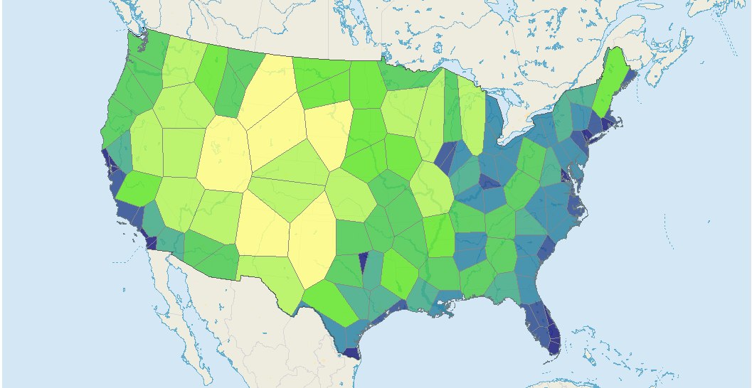
If every phone mast were identical, coverage maps would be a simple nearest-mast diagram. But masts differ in power and height — and each difference changes the shape of the boundary in a way you can work out exactly.
Where this idea comes from
Start here — these are the sources that inspired this exploration.
Introduction
Start with the simple picture: your phone connects to the nearest mast, so the boundary between two masts is the perpendicular bisector — a Voronoi diagram, the same construction planners use for school catchments. But real masts are not identical. One stands on a hill or a taller tower; one transmits with more power. Each of these breaks 'nearest wins' differently, and the new boundaries can be found with Pythagoras and equation-of-a-circle algebra — nothing more. One change keeps the boundary straight but slides it; the other bends it into a curve, and a weak mast's territory becomes an island. Mast locations for your own town are openly available (OpenCelliD), so you can finish by drawing the real map and asking why reality disagrees with your diagram.
Guiding Questions
- Two identical masts: construct the boundary between them and convince yourself why it must be the perpendicular bisector.
- Now put one antenna higher up. A phone at ground distance d from a mast of height h is really further than d from the antenna — how much further? Find where the true distances to the two antennas are equal, and describe what happened to the boundary.
- Next, give one mast more transmitting power, with signal strength fading the further you are. Find the boundary points on the line joining the two masts first, then hunt for the rest of the boundary. What shape is it?
- Put it together: a map of three or four masts with mixed heights and powers. Draw the full coverage map and find who serves your house.
- Get the real mast locations for your area from OpenCelliD and draw the actual diagram. Where does reality disagree with your model — and what about real masts could explain it? Choose one such factor, build it in, and see how the map changes.